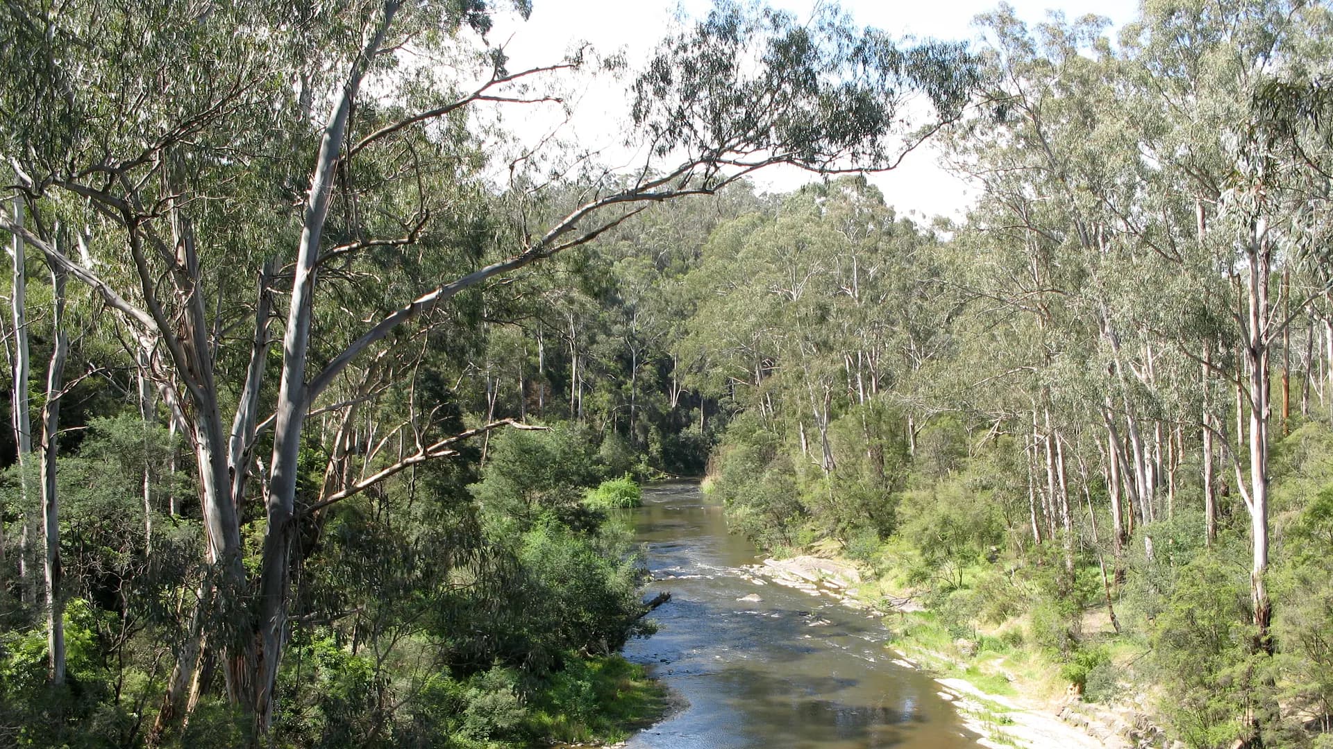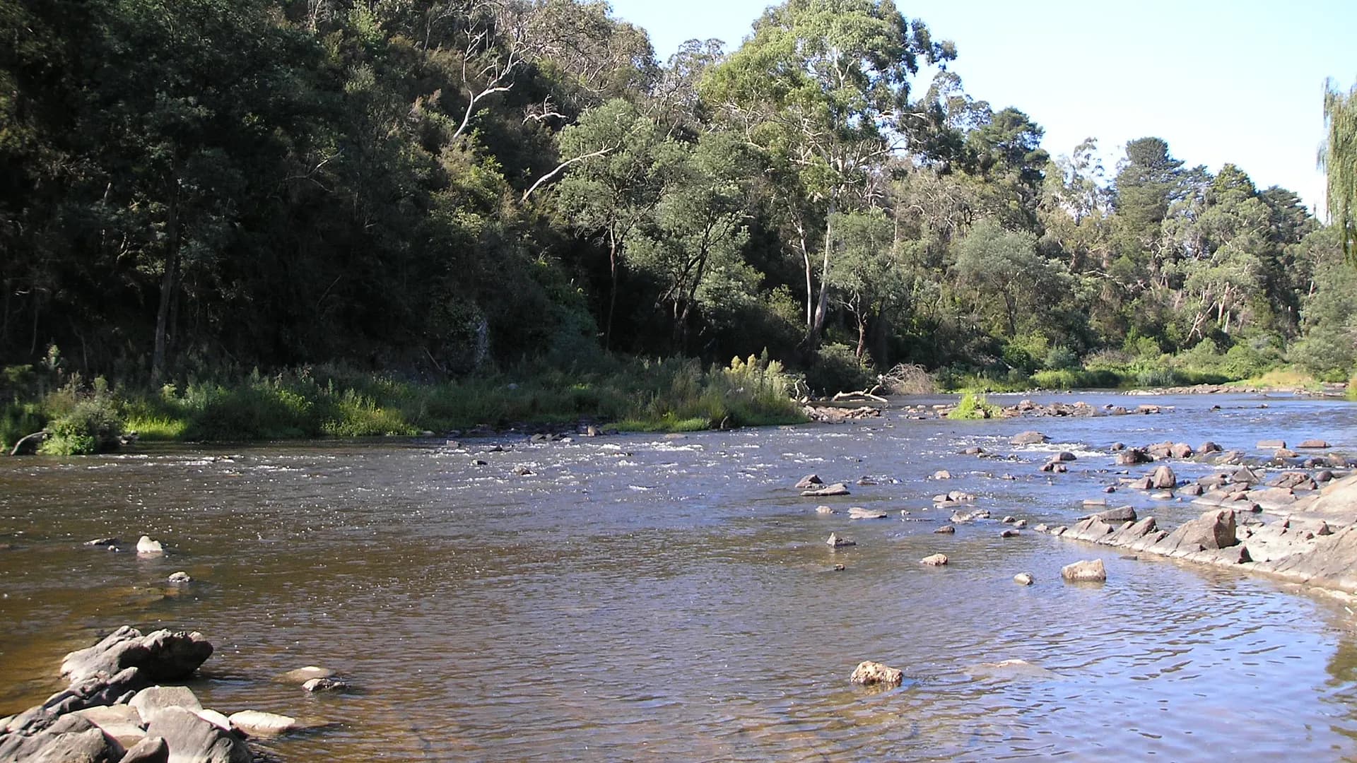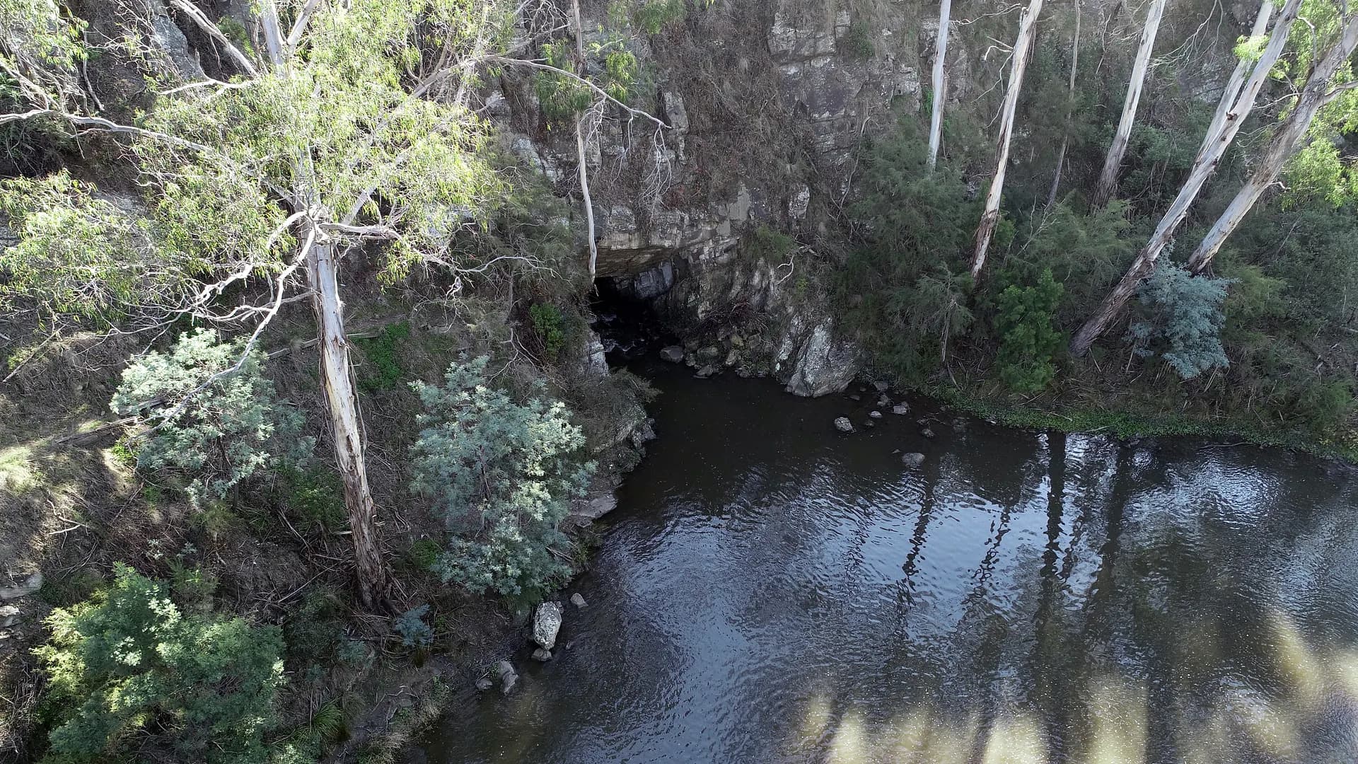
Where can I research Warrandyte history? Directly: use Trove for digitised newspapers and photographs, Public Record Office Victoria for government records, State Library Victoria for maps, books and manuscripts, and the local-history collections held through Manningham and Nillumbik library services. Walk the ground with Parks Victoria interpretation at Fourth Hill and Pound Bend. Treat Traditional Owner-led material from Wurundjeri Woi-wurrung organisations as authoritative on Country — not as an optional preface.
This URL is a rebuilt 2025 guide. It is a finding aid, not a scan of someone else’s archive and not a place to paste family anecdotes as fact.
First principle: know which Warrandyte you mean
“Warrandyte” in a record might mean:
- the township on the Manningham side
- North Warrandyte (Nillumbik)
- Andersons Creek, the earlier colonial name that still appears in gold and parish documents
- a parish, county or mining division that does not match today’s suburb boundary
- a school, cemetery, or reef name that drifted in popular speech
Search all of those strings. PROV and Trove are literal. If you only search the modern suburb, you will miss the 1850s.
Trove — newspapers, pictures, forgotten advertisements
Trove is usually the fastest way to watch a township talk to itself: gold reports, bushfire seasons, bridge arguments, school concerts, council notices. Use:
- exact phrases in quotes
- the older name Andersons Creek
- nearby nodes (Wonga Park, Research, Eltham, Templestowe, Kangaroo Ground) when a story spills
Digitisation is uneven. A missing year is not proof an event did not happen; it may be a gap in scanning. When you cite, cite the newspaper, date, page Trove gives you — not “as reported online”.
Photographs on Trove and Wikimedia can be valuable and still be wrongly captioned. Cross-check landforms (the tunnel is hard to misidentify; a generic “Yarra picnic” is easy).
Public Record Office Victoria — the government paper trail
PROV holds the bureaucratic skeleton: mining registers, lands files, inquests, education files, close correspondence of departments, and often maps that never made it into coffee-table books. Their online catalogue is the start; many files remain on view in North Melbourne with copying rules.
Useful mental categories for Warrandyte work:
- gold and mining (licences, districts, water races, the logic that produced the Evelyn Tunnel)
- lands and surveys (selections, roads, the making of a township reserve)
- education and health
- inquests and police (handle with care; these are people’s worst days)
- local government evolving through various district and shire ancestors before Manningham and Nillumbik as you now know them
PROV staff and published research guides beat a local-guide paragraph. We will not quote a specific record series number that might be reaccessioned.
State Library Victoria — maps, published local histories, manuscripts
SLV is where you go when you need a parish plan, a river survey, a published local history, or a manuscript collection. Their maps of the Yarra corridor show how violently a meander and a road can disagree with a modern GPS.
Use the catalogue. Use the map room’s current request process. Do not expect this website to host high-resolution survey sheets.
Council libraries and local historical practice
Manningham and Nillumbik library services, and volunteer historical societies in this part of Melbourne, hold vertical files, photographs, and indexes that never hit Trove. Hours and appointment rules change; check the library site. Warrandyte’s own historical society tradition is part of that network — visit as a guest, cite as a guest, and do not photograph collections against their wishes.
Local newspapers (including community papers that served the township) may have partial digitisation. The library is how you learn which years exist on film.
On-Country research is not optional colour
Wurundjeri Woi-wurrung people remain connected to the Birrarung and this landscape. Parks Victoria’s park notes already flag the confluence near Mount Lofty and William Barak’s association. If your project is more than a picnic anecdote, you need a research ethics larger than “I found a newspaper”. That can mean following Wurundjeri cultural-heritage processes, not publishing burial information, and not treating a scarred tree as content.
This guide cannot run that process for you. Start at wurundjeri.com.au and the cultural-heritage frameworks Victorian law actually uses.
Parks Victoria as a landscape catalogue
For walkable remnants — Gold Memorial, Geraghty’s and Victory mining relics, Evelyn Tunnel — Parks Victoria is the public interpreter. Their visitor guide PDF and site pages are citable for facilities and for the 1851 / 1870 framing they choose. They are not a substitute for PROV if you are writing about company prospectuses or water-right disputes.
Prospecting rules on Andersons, Stoney and Jumping Creeks are current management, not a historical re-enactment right. Read them before you treat a creek bed as a classroom.
Method that keeps you honest
- Write down the question (“When was the tunnel completed?”) before you search. Parks Victoria already answers 1870 for the Evelyn Tunnel; do not “improve” it.
- Distinguish primary (a 1870s file, a newspaper from the week) from secondary (a later local history) from tertiary (this web page).
- Do not launder a family story into a date. Oral history is evidence of memory; it still wants a corroborating file if you are going to publish a year.
- Privacy: living people, and even the recently dead, are not fair game because an old directory once listed a phone number. This guide will not repeat that habit.
If you only have an evening, Trove plus the history hub plus a walk to Pound Bend is a complete starter. If you have a thesis, budget time for PROV and SLV, and leave this domain in the footnotes as “independent visitor orientation”, which is all it is.
Place names that shift under your feet
Andersons Creek, Pound Bend, Fourth Hill, Whipstick Gully, Black Flat, Mount Lofty, The Common, Taroona, Koornong, Norman, Jumping Creek, North Warrandyte, Wonga Park. A single life might touch six of those in one file. Keep a gazetteer as you work. Parks Victoria’s map is a modern land-manager map; parish plans at SLV are a different geometry.
Photographs of the tunnel
Commons and library catalogues hold tunnel images (including CC-licensed photographs this site adapted). They prove a landform. They do not prove a family story about a great-grandfather unless you can chain the story to a record. Use photos as questions.
Cemeteries, schools, churches
These institutions generate lists that amateur historians love and that living families may not want on a blog. Prefer official indexes and on-site registers with their own rules. This independent guide will not host a burial database.
Citing this page
If you must: “Independent visitor orientation, warrandyte.com.au, rebuilt 2026.” Then cite the archive you actually used. We would rather be omitted than treated as a primary source for 1870. Parks Victoria already published that year for the Evelyn Tunnel; they are the public interpreter of the remnant.
After the files, the walk
Research that never leaves North Melbourne misses the smell of manna gum and the scale of the diverted bend. Walk Pound Bend when it is open. Do not sample the creek with a shovel unless you are inside the current fossicking rules. Do not treat a shaft as a classroom.
Then come back to the catalogue. The land and the paper argue with each other; that argument is the work.
History for the visitor framing. Walks for the pins. Contact only if a source URL shows we misstated a finding aid.
A one-evening starter plan
Hour one: Trove search “Andersons Creek” and “Warrandyte” with a date range you care about. Write down newspaper titles and dates, not vibes.
Hour two: Parks Victoria park page plus the Gold Memorial and Pound Bend site pages. Note 1851 and 1870 as their public framing. Do not improve the years.
Hour three: SLV catalogue for a parish plan. If you cannot see it online, join the request queue like everyone else.
Later: PROV when you have a specific file type in mind. Libraries when you need a local-history folder. Wurundjeri-led processes when your project touches living culture rather than a picnic anecdote.
Never: republish a 2006 directory of living people as “research”. Never: treat this independent guide as a records office. Never: dig a park creek because a newspaper mentioned gold.
The citeable answer remains the first FAQ: Trove, PROV, SLV, council libraries, Parks Victoria on the ground — not warrandyte.com.au as a primary source.
Keep a research log with strings actually searched, because Andersons Creek and Warrandyte return different Trove worlds, and because your future self will not remember which spelling found the rate book. Then walk Pound Bend only if it is open, and put the shovel away unless Parks Victoria’s fossicking rules currently include you.